Ever wondered how a simple map could tell you where the next traffic jam will be, or even spot a new building popping up in your neighborhood? The secret isn’t magic, it’s a powerful combination of Artificial Intelligence (AI) and location data, a field we call GeoAI.
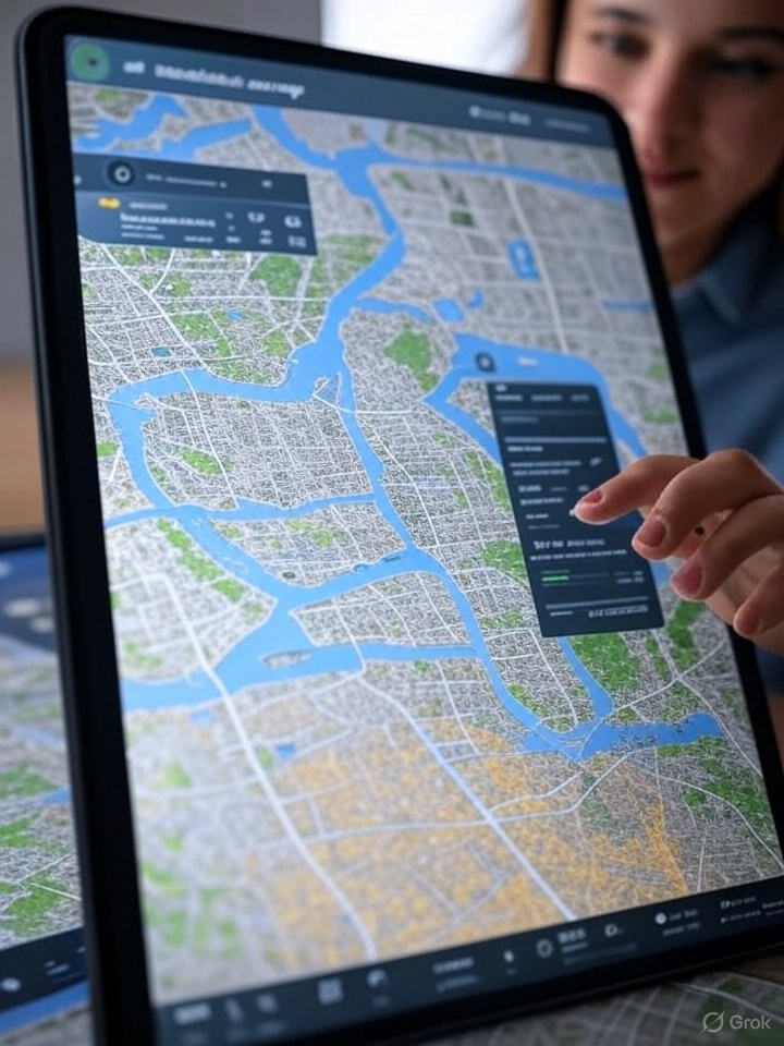
Imagine our familiar maps and GPS systems, but with a brain. That’s essentially what GeoAI brings to the table. It takes all that information about places – from satellite images showing sprawling forests to tiny sensors tracking traffic on a city street – and uses AI to make sense of it.
More Than Just Dots on a Map
For a long time, maps were about showing us where things are. With GeoAI, it’s about understanding why they are there, predicting what might happen next, and even suggesting how to improve things.
Here’s a simple breakdown of how it works:
Gathering the World’s Data: Think of all the ways we collect information about the Earth: satellites orbiting high above, drones buzzing over farmlands, cameras watching traffic, and even data from your phone’s GPS. GeoAI brings all this “geospatial data” together. It’s not just static images; it includes changes over time, like how a city grows or how weather patterns shift.
Teaching the AI to “See” and “Understand”: This is where the “AI” part comes in. GeoAI uses special AI techniques, like:
Machine Learning: This allows computers to learn from massive amounts of data without being directly programmed for every scenario. It spots patterns that humans might miss.
Deep Learning: A more advanced form of machine learning, deep learning is especially good at analyzing complex images, like identifying every single tree in a forest from a satellite photo, or spotting cracks in a road from drone footage.
Computer Vision: This is what helps the AI “see” and interpret visual data. It can recognize objects like buildings, cars, or even different types of crops.
Natural Language Processing (NLP): This allows GeoAI to understand and process text-based location information, even if it’s messy or in different languages.
Turning Data into Smart Insights: Once the AI has processed all this location data, it can do some truly amazing things:
Automated Mapping: Instead of people manually drawing every building or road on a map, GeoAI can automatically detect and map these features, saving enormous amounts of time.
Spotting Changes: By comparing images over time, GeoAI can quickly identify new construction, changes in land use, or even the spread of a wildfire.
Predicting the Future: By analyzing historical data, GeoAI can predict where traffic jams are likely to occur, forecast flood risks, or even help farmers understand which parts of their fields need more water or fertilizer.
Solving Real-World Problems: This is where GeoAI truly shines. It helps city planners decide where to build new schools, aids emergency responders in mapping disaster zones and finding the quickest routes, helps insurance companies assess property risks, and even assists journalists in uncovering hidden truths by analyzing satellite imagery.
GeoAI in Your Daily Life
You might not realize it, but GeoAI is already making your world smarter and safer:
Smarter Navigation: Your GPS app doesn’t just show you where to go; it might use GeoAI to predict traffic and suggest alternative routes.
Urban Planning: City councils use GeoAI to understand population density, analyze transportation networks, and plan for future growth, making our cities more efficient.
Disaster Response: When natural disasters strike, GeoAI quickly maps damaged areas, helping rescue teams get to those who need help most.
Agriculture: Farmers are using GeoAI to get detailed insights into their fields, optimizing crop yields and reducing waste.
In essence, GeoAI is taking the vast ocean of location data around us and turning it into clear, actionable intelligence. It’s helping us understand our world in a deeper, smarter way, making our lives more efficient, safer, and better informed.